CLOSED LANDFILLS AND LAND SEARCH DATABASE
Merseyside Recycling and Waste Authority is responsible for the environmental monitoring of seven closed landfill sites across the Merseyside area. Once a landfill site has reached the end of its useful life and taken all the waste it is permitted to hold, the site is then closed. The operator of the site then has a responsibility to restore the site in a way that is deemed suitable to the local planning authority.
MONITORING CLOSED LANDFILL SITES
Merseyside Recycling and Waste Authority (MRWA) has a statutory duty to monitor a range of closed landfill sites. Monitoring falls into three categories: landfill gas monitoring, leachate monitoring and groundwater and surface water monitoring.
-
- Landfill Gas Monitoring: As waste within a landfill decomposes, bacteria break down the waste and produces gases. Using a portable hi-tech infra-red gas analyser, MRWA monitors each of the seven closed landfill sites it is responsible for, at monitoring points at each site. Landfill gas has several components, each at varying concentrations, these are: Methane, Carbon Dioxide, Oxygen, Hydrogen Sulphide, Carbon Monoxide, Other trace gases.
- Due to the low volumes of landfill gases generated at the sites, burning landfill gases to generate electricity is no longer a viable option. At some sites gas flaring units are used to breakdown methane into water and carbon dioxide, reducing the impact of landfill gas on the environment. At the remaining sites passive venting systems are used to allow the gases to disperse.
- Leachate Monitoring: Alongside landfill gas monitoring, MRWA has a statutory obligation to monitor the landfill leachate produced within the sites. Leachate is the liquid produced as rainwater and groundwater pass through the waste. As the water passes through the waste it picks up chemical and biological components which, if not properly controlled, may be harmful to the environment.
- Leachate is collected at the base of sites, where it is then pumped to the surface for treatment, before being discharged to a public foul sewer, where it is then treated in waste water treatment works. MRWA regularly monitors the leachate both within the site and before discharge, in order to ensure compliance with environmental legislation. Leachate is monitored from several points within the landfill sites: boreholes located within the main body of the landfill and specially designed sampling points before the discharge point.
- Leachate samples are collected from these points and monitored for a variety of chemical and biological determinants, including ammoniacal nitrogen, dissolved methane, and pH.
- Groundwater and Surface Water Monitoring: To ensure that the control measures (engineered containment systems that prevent leachate migrating off site) are working correctly, groundwater and surface water samples are taken. The samples are sent for analysis in the laboratory, where they are tested for the same determinants as leachate samples. Samples are taken from upstream and downstream locations, this allows a comparison to be made, and therefore identify any contamination (if any) from the site. The groundwater level at the gas monitoring boreholes is measured on a regular basis. This enables MRWA to compare groundwater levels over the year.
RESTORATION OF LANDFILL
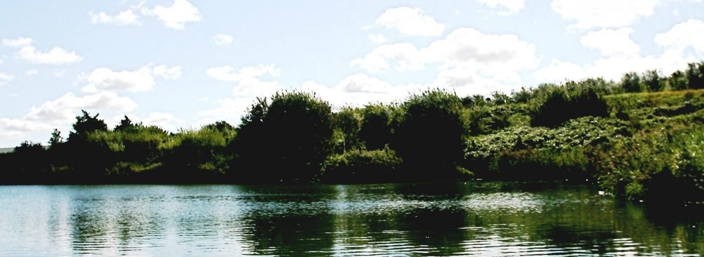
CASE STUDY: Bidston Moss Community Woodland (Wallasey Bridge Road, Wirral) – The landfill site at Bidston Moss has undergone major restoration work since closure in 1995. Hundreds of trees have been planted, wildflower meadows have been sown and boardwalks installed, all joined by a network of pathways.
The restoration works commenced with the importation of soil forming materials, principally paper pulp from the Bridgewater paper recycling plant in Ellesmere Port. The paper pulp was mixed with soil and spread across the site. Tree planting started soon afterwards, under the guidance of Groundwork Wirral, and the woodland is now well established and features a mixture of tree species (including ash, alder, willow and oak).
The Community Woodland is now managed by the Forestry Commission (www.forestry.gov.uk) under the Newlands scheme. It is linked to the National Cycle Network route 56, (www.sustrans.org.uk) by means of the bridge that spans the railway line which leads to New Brighton. The woodland is clearly visible from the M53 motorway. The site is easily accessible from both the Bidston and Birkenhead North railway stations.
The woodland is surrounded by a four metre wide, tarmacced, perimeter track. This surface is ideal for both pedestrians and cyclists, and has been marked accordingly. This track is approximately 2.2 kilometers long. A network of paths crosses the remainder of the site, and these too are suitable for both pedestrians and cyclists. In addition a mountain bike track has been installed on the higher slopes of the site.
The pond on the site has been developed with angling in mind (for more information contact wirralangling@aol.com). Boardwalks constructed from recycled plastic have been installed along the north and west slopes of the pond. Organisations wishing to use the site should contact the Forestry Commission (www.forestry.gov.uk).
CASE STUDY: Red Quarry Community Woodland (Chester Lane, St Helens) – The development of the Red Quarry woodland commenced in the mid 1990’s, when the site was planted with large blocks of native trees. These trees are now well established, providing a valuable habitat for local wildlife and a useful addition to the biodiversity of St Helens. The Forestry Commission (www.forestry.gov.uk) took over the running of the site in 2008, and have since opened the site up to the public. New entrance features and pathways now enhance the site, making it a popular recreational spot for local residents. The site is part of the Forestry Commission’s “Brickfields” scheme, which links several woodlands in the area.
CASE STUDY: Roughdales Community Woodland (St. Helens) – The Roughdales landfill site was restored to a woodland during the mid 1990’s. A mixture of native tree species have become well established on the site. The site is popular with local residents who use it for recreational purposes.
CASE STUDY: Sefton Meadows Community Woodland (Maghull) – Restoration works on the Sefton Meadows (extension 3) landfill site were undertaken during the 1990’s. Hundreds of trees have been planted on the site, many by local school children. These are interlaced by a network of footpaths. Sculptures by local artists have been installed at a few locations across the site. The woodland is in close proximity to a number of footpaths in the area, including the Cheshire Lines Path, which links to the national cycle network.
CASE STUDY: Sefton Meadows Extension No 2 – This has been restored and returned to the landowner where it is used for arable farming.
CASE STUDY: Other closed landfill sites – Billinge has been restored to woodland but is not open to the public yet. It now provides a valuable habitat for migratory birds. Foul Lane is still awaiting restoration works.
LAND SEARCH DATABASE
Merseyside Recycling and Waste Authority holds a GIS database of approximately 240 closed landfill sites within the Merseyside area. A search service is available and further details can be sought by filling in the General Enquiries form at the bottom of this page.